
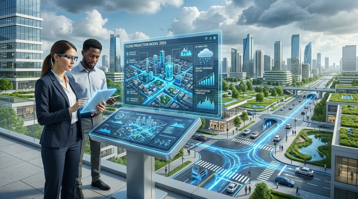
Rain falls harder than it used to. Streets that stayed dry for decades now turn into rivers after a heavy storm. For urban planners and civil engineers, this is not a future problem. It is a present crisis. The good news is that artificial intelligence has matured to the point where it can help us see the flood before the first drop hits the pavement. In 2026, AI urban flood prediction is no longer a pilot project. It is a practical tool that cities from Miami to Mumbai are using to protect people, property, and infrastructure.
AI urban flood prediction combines real-time sensor data, satellite imagery, and machine learning models to forecast flooding hours or days in advance. Planners use these insights to close roads, activate pumps, and adjust drainage systems before water rises. The result is fewer emergencies, lower costs, and safer neighborhoods.
How AI Changes the Flood Prediction Game
Traditional flood forecasting relies on historical rainfall data and river gauge readings. That approach works well for slow-moving rivers. It struggles with the flash floods that plague dense cities. Concrete does not absorb water. Storm drains clog. A sudden downpour can overwhelm a system in minutes.
AI models solve this by learning from many data sources at once. They ingest radar data, soil moisture levels, urban topography, and even social media reports of standing water. The models find patterns that humans would miss. They can predict exactly which block will flood and how deep the water will get.
A 2026 study from the National Oceanic and Atmospheric Administration found that AI-driven models improved flash flood warning lead times by an average of 40 percent compared to traditional methods. That extra time means emergency managers can deploy barriers, redirect traffic, and warn residents before water reaches dangerous levels.
The Tech Stack Behind AI Urban Flood Prediction
Building a reliable flood prediction system requires more than just a clever algorithm. It needs a full stack of connected technologies. Here is what cities are using right now.
IoT Sensors and Real-Time Data Feeds
Smart cities have installed thousands of sensors in drainage pipes, retention ponds, and low-lying intersections. These sensors measure water depth, flow rate, and pressure. They send data to a central platform every few seconds. When a sensor in a culvert reports rising pressure, the AI cross-references that reading with upstream rainfall data. It can predict a surface flood 20 minutes before the water reaches the street.
Satellite and Radar Imagery
Satellites provide a big-picture view of weather systems moving toward a city. High-resolution radar fills in the gaps at the neighborhood level. AI models stitch these images together to track storm cells in real time. They can estimate how much rain will fall on each square mile of the city and how long it will take to drain.
Machine Learning Models
The heart of the system is a machine learning model trained on years of historical flood events. The model learns the relationship between rainfall intensity, ground saturation, and flood depth. It updates its predictions as new data comes in. Some models use a technique called ensemble forecasting, which runs dozens of simulations at once. The system then shows the most likely outcome along with a range of possibilities.
Digital Twins for Simulation
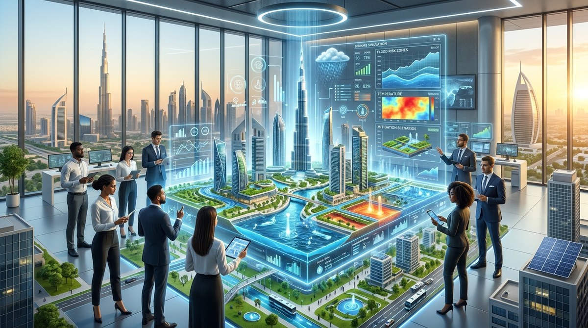
Many cities now maintain a digital twin of their stormwater infrastructure. A digital twin is a virtual copy of every pipe, pump, and retention basin. Planners can run flood scenarios on the twin to see how the system will perform under different conditions. This is especially useful for testing upgrades before spending money on construction. For a deeper look at how digital twins support infrastructure, check out our article on are digital twins the key to smarter infrastructure maintenance in 2026.
A Practical Process for Implementing AI Flood Prediction
If your city or agency is ready to adopt AI for flood prediction, here is a step-by-step process that works.
-
Audit your existing data. Start by gathering all available rainfall records, stream gauge data, and historical flood maps. The quality of your AI model depends on the quality of your training data. If records are sparse, look for satellite-derived rainfall estimates from sources like NASA’s GPM mission.
-
Install or integrate IoT sensors. You do not need to cover every block. Focus on known trouble spots: underpasses, low-lying intersections, and areas near creeks. Connect these sensors to a cloud platform that feeds data into your model in real time.
-
Choose a model framework. Some cities build custom models using open-source libraries like TensorFlow or PyTorch. Others buy commercial flood prediction software. Either way, make sure the model can ingest multiple data streams and update its forecasts every few minutes.
-
Validate against past events. Run the model against historical storms to see how well it predicts known flood locations and depths. Tweak the parameters until the model matches reality within an acceptable margin of error.
-
Connect the output to action. A prediction is useless if no one acts on it. Link the AI system to your city’s emergency alert platform, traffic management center, and public works dispatch. When the model predicts a flood, it should automatically trigger alerts and suggested actions.
-
Train your team. The people who respond to floods need to trust the AI. Run drills where the model issues a warning and the team practices closing roads or activating pumps. Over time, confidence grows.
Comparing Prediction Methods: Traditional vs. AI
The table below shows how different flood prediction approaches stack up against each other.
| Method | Data Sources | Lead Time | Accuracy | Cost |
|---|---|---|---|---|
| River gauge monitoring | Stream levels only | 2 to 6 hours | Moderate for rivers, poor for urban flash floods | Low |
| Radar nowcasting | Weather radar | 30 to 60 minutes | Good for rainfall, weak on flood depth | Medium |
| AI ensemble model | Sensors, radar, satellite, soil data, topography | 1 to 12 hours | High for both location and depth | High initial, low ongoing |
| Hydraulic simulation (no AI) | Terrain and pipe maps | Scenario based | Good for planning, poor for real time | Medium |
The AI approach costs more upfront because of sensor installation and model training. But it delivers the longest lead time and the highest accuracy. For cities that face frequent flooding, the investment pays for itself in reduced damage and lower emergency response costs.
Real Examples of AI Flood Prediction in Action
Some cities have already moved from testing to full deployment. Here are a few that stand out.
Copenhagen, Denmark
Copenhagen built a cloudburst management plan after a 2011 storm caused over $1 billion in damage. The city now uses an AI model that combines weather radar, sewer sensor data, and a digital twin of the drainage network. The system predicts flooding up to two hours in advance. It automatically adjusts gates and pumps to store water in parks and plazas designed as retention basins.
Miami Beach, Florida
Miami Beach faces chronic flooding from high tides and heavy rain. The city installed sensors in its drainage system and connected them to an AI platform. The model predicts which streets will flood during king tides and storms. Public works crews pre-deploy portable pumps to those locations. The system also sends text alerts to residents and businesses in the flood zone.
Tokyo, Japan
Tokyo operates one of the most advanced flood control systems in the world. The city’s AI model analyzes data from 200 rain gauges, 50 water level sensors, and multiple weather radars. It predicts flood risk for each of the city’s 23 wards. The system issues color-coded warnings that match the city’s disaster preparedness levels. During Typhoon Hagibis in 2019, the model correctly predicted the flood extent hours before the worst rainfall hit.
Common Pitfalls to Avoid
AI is powerful, but it is not magic. Planners who rush into deployment often make mistakes. Here are the most common ones.
- Ignoring data quality. Garbage in, garbage out applies to AI more than any other tool. If your rainfall records are incomplete or your sensor network has gaps, the model will produce unreliable forecasts.
- Overlooking maintenance. Sensors drift, batteries die, and communication networks fail. You need a team that checks and calibrates hardware on a regular schedule.
- Relying on a single model. Different storms behave differently. A model trained on summer thunderstorms may fail during a winter rain event. Use an ensemble of models or retrain your model on diverse weather patterns.
- Forgetting the human factor. A perfect prediction means nothing if the public does not understand the warning or if city staff do not trust the system. Invest in outreach and training alongside the technology.
“The best AI flood model in the world is useless if the emergency manager turns it off because they do not believe the output. Trust is built through transparency and repeated success.” – Dr. Lena Park, Urban Resilience Researcher at MIT
How Smart Water Management Complements AI Prediction
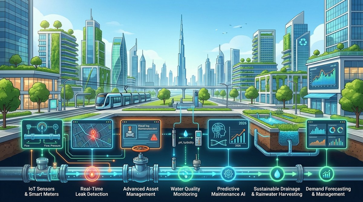
AI flood prediction works best when it is part of a larger smart water management strategy. Sensors that monitor flood risk can also track water quality, pipe condition, and consumption patterns. The same data platform that alerts you to a flood can help you detect a leak or optimize irrigation in city parks. For a practical guide to building this kind of system, read our article on how to implement smart water management systems in urban areas.
The Road Ahead for AI Urban Flood Prediction
The technology will keep improving. Researchers are working on models that can predict flooding a full week in advance by incorporating long-range climate forecasts. Others are developing AI that can recommend specific infrastructure upgrades based on predicted flood patterns. Edge computing will allow sensors to run AI models locally, reducing the need for constant cloud connectivity.
Cities that start now will have a significant advantage. They will have trained models, calibrated sensors, and experienced teams ready for the next big storm. Those that wait will be playing catch up while the water rises.
Building a Flood-Ready City Starts Today
You do not need a billion dollar budget to get started. Pick one flood-prone neighborhood. Install a few sensors. Feed the data into an open-source AI model. See what happens. Learn from the results and expand from there. Every city that takes this step becomes a little safer, a little smarter, and a little more prepared for the storms of tomorrow.
The rain will keep coming. But with AI urban flood prediction, you can stay one step ahead.

Leave a Reply