
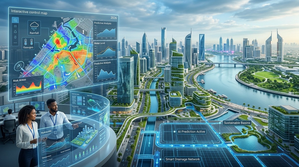
Picture this: a city that knows where the next flood will hit, hours before a single raindrop falls. That is not science fiction anymore. In 2026, urban planners are using artificial intelligence to turn stormwater chaos into a manageable, predictable challenge. Instead of waiting for basements to fill and streets to become rivers, cities from Miami to Rotterdam are feeding real-time data into machine learning models that map flood risks with startling accuracy. The shift is massive. We are moving from reactive cleanup to proactive prevention, and the tool making it possible is AI urban flood prediction 2026.
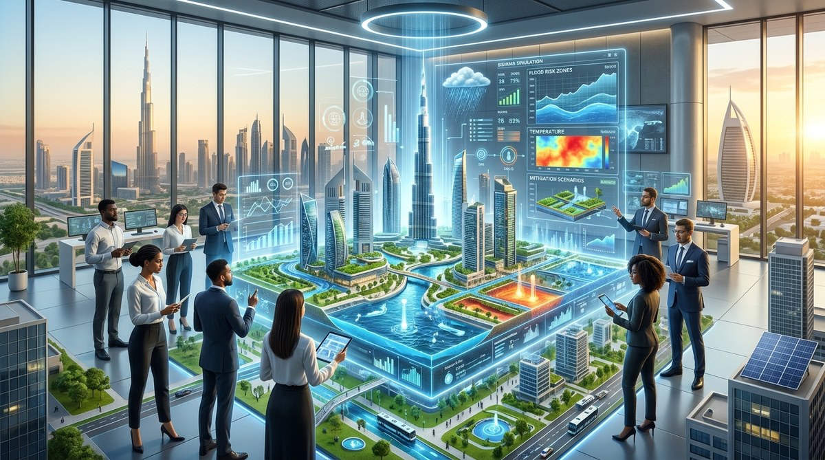
AI urban flood prediction 2026 relies on three pillars: hyper-local weather models trained on decades of historical data, IoT sensor networks that measure water levels and soil saturation in real time, and digital twin simulations that let planners test flood scenarios before they occur. Cities using this stack have cut emergency response times by up to 40 percent and reduced property damage estimates by millions of dollars per storm event.
How AI Predicts Floods Before They Start
Traditional flood forecasting relied on rain gauges and radar data that updated every few hours. That lag meant emergency teams often learned about dangerous conditions at the same time as the public. AI changes that timeline completely.
Modern systems ingest data from three main sources:
- Weather satellites and ground radar for precipitation intensity and movement
- IoT water level sensors installed in storm drains, canals, and retention ponds
- Soil moisture monitors that track how saturated the ground already is
A convolutional neural network processes all this information every 15 minutes. It compares current conditions against thousands of historical flood events. The model learns which combinations of rainfall intensity, tide levels, and soil saturation have led to flooding in the past. When it spots a dangerous pattern forming, it issues a localized alert for a specific neighborhood or street segment.
The result is a prediction window of two to four hours for flash floods, and up to 48 hours for riverine flooding. That is enough time to deploy mobile barriers, pre-position pumps, and alert residents through smart city communication platforms.
Three Steps to Build an AI Flood Prediction System
If you are a city planner or civil engineer looking to implement this technology, here is the practical process that leading municipalities follow in 2026.
-
Install a dense IoT sensor network. You need at least one sensor per square mile in urban areas, and more in low-lying zones. Each sensor measures water depth, flow velocity, and rainfall intensity. The data streams to a central platform via LoRaWAN or 5G networks.
-
Train a machine learning model on local history. Collect at least 15 years of flood records, rainfall data, and tide charts. Use a random forest or gradient boosting algorithm to identify which variables correlate most strongly with flood events in your specific geography.
-
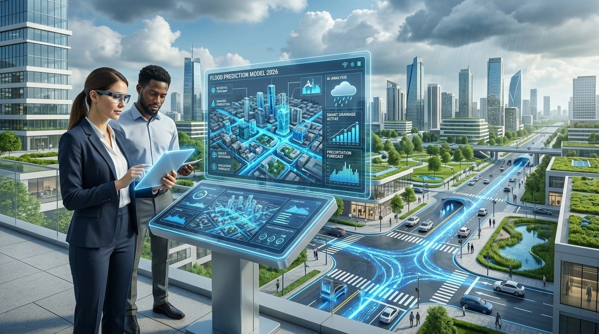
Build a digital twin of your drainage system. A digital twin is a virtual replica of your city’s stormwater infrastructure. You can run simulations on it to see how different rainfall scenarios will affect water flow. This step is critical for testing “what if” situations without risking real property.
One city that followed this playbook is Norfolk, Virginia. They deployed 300 sensors across their most flood-prone wards in early 2025. By hurricane season 2026, their system was issuing street-level flood warnings 90 minutes before water reached dangerous levels. The city’s emergency manager told local press it was the first year they did not have to close a single road due to surprise flooding.
Common Mistakes in AI Flood Prediction (and How to Avoid Them)
Even the best technology fails if it is deployed carelessly. Here are the most frequent errors planners make, and the fixes that work.
| Mistake | Why It Happens | How to Fix It |
|---|---|---|
| Training only on extreme events | Models become useless for moderate flooding | Include all rainfall data, not just disaster records |
| Ignoring tidal influence | Coastal cities get false negatives | Always layer in NOAA tide predictions |
| Using a single data source | High false alarm rate | Fuse radar, sensor, and satellite feeds |
| Not updating models annually | Drift in accuracy over time | Retrain every 12 months with new storm data |
“The biggest mistake I see is cities buying a flashy AI dashboard without first investing in sensor infrastructure. You cannot predict what you cannot measure. Start with the hardware, then layer on the software.” – Dr. Elena Torres, urban hydrologist at the University of Texas at Austin
Real-Time Mitigation: What Happens When the Alarm Sounds
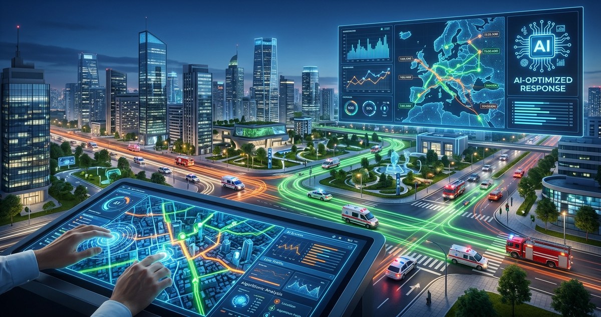
A prediction is only useful if it triggers action. In 2026, smart city systems automate several responses the moment an AI model flags a high-risk zone.
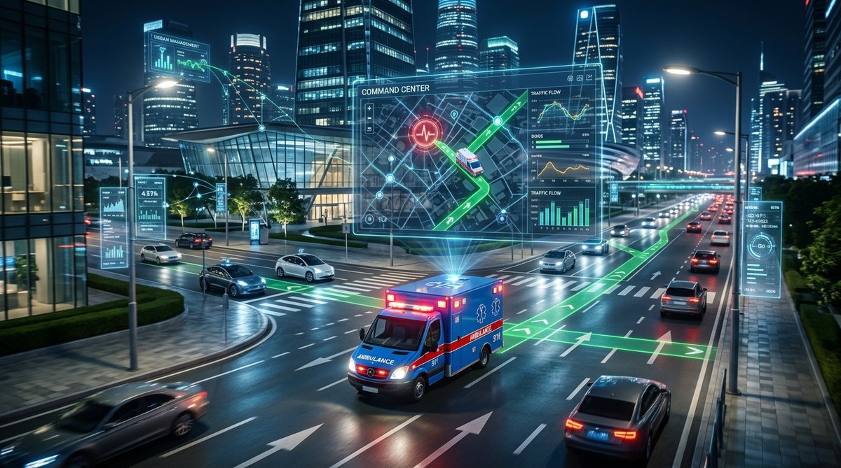
First, smart gates in retention ponds and drainage channels adjust automatically. They open wider to release stored water before the main storm arrives, creating capacity for the incoming surge. Second, traffic management systems reroute vehicles away from vulnerable underpasses and low-lying roads. Drivers see updated routes on navigation apps within seconds.
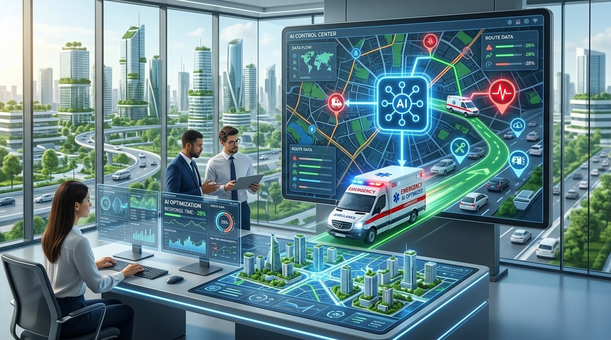
Third, emergency services receive a prioritized list of locations that will need attention. Instead of dispatching crews randomly, the system tells them exactly which streets will flood first and which residents are most at risk. This targeted approach has proven especially valuable for protecting elderly populations and people with mobility challenges.
The Role of Digital Twins in Long-Term Planning
Digital twins are not just for real-time response. They are becoming essential tools for infrastructure planning. Planners use them to test how proposed developments will affect drainage patterns. If a developer wants to build a new apartment complex on a floodplain, the city can run a simulation showing how that project will shift water runoff onto neighboring properties.
This capability is reshaping zoning decisions. Several cities in Florida now require developers to submit digital twin simulations as part of their permit applications. The simulations must demonstrate that the proposed building will not increase flood risk for adjacent parcels. It is a data-driven approach to a problem that used to be settled with arguments and political pressure.
For a deeper look at how these systems integrate with broader urban resilience strategies, check out our guide on innovative strategies for building smarter urban infrastructure.
What 2026 Tells Us About the Future
The technology will only get better. Researchers are already working on models that incorporate real-time social media posts and traffic camera feeds to detect flooding in areas without dedicated sensors. Others are training AI to predict not just where water will accumulate, but how polluted that water will be, which matters for public health warnings.
The cost of sensors continues to drop. A basic water level sensor that cost $400 in 2022 now runs about $90. That price reduction means smaller cities and towns can afford to build their own prediction networks. We are moving toward a future where flood prediction is not a luxury for wealthy coastal metros, but a standard service available to any community that wants it.
Building a Culture of Preparedness
Technology alone does not save lives. People do. The most successful flood prediction programs in 2026 are those that combine AI accuracy with strong community communication. Cities hold regular drills where residents practice responding to digital alerts. Schools integrate flood safety into their science curriculum using real data from local sensors. Neighborhood groups adopt storm drains and report blockages through a mobile app that feeds back into the AI model.
This human layer is what turns a good prediction system into a great one. When residents understand how the alerts work and trust them, they act. When they act, property damage drops and injuries decline. It is a virtuous cycle that starts with good data and ends with safer streets.
If you are ready to bring these capabilities to your city, start small. Pick one watershed or one flood-prone district. Deploy sensors there, train a model on that area’s history, and prove the concept works. Once you have a success story, scaling up becomes much easier. The technology is ready. The question is whether we are ready to use it.
For more on how data is reshaping the places we live, read our article on harnessing data analytics for smarter urban infrastructure design.

Leave a Reply